Seafort Triangle

Seafort Triangle
A CIVIC SPACE TRIANGLE
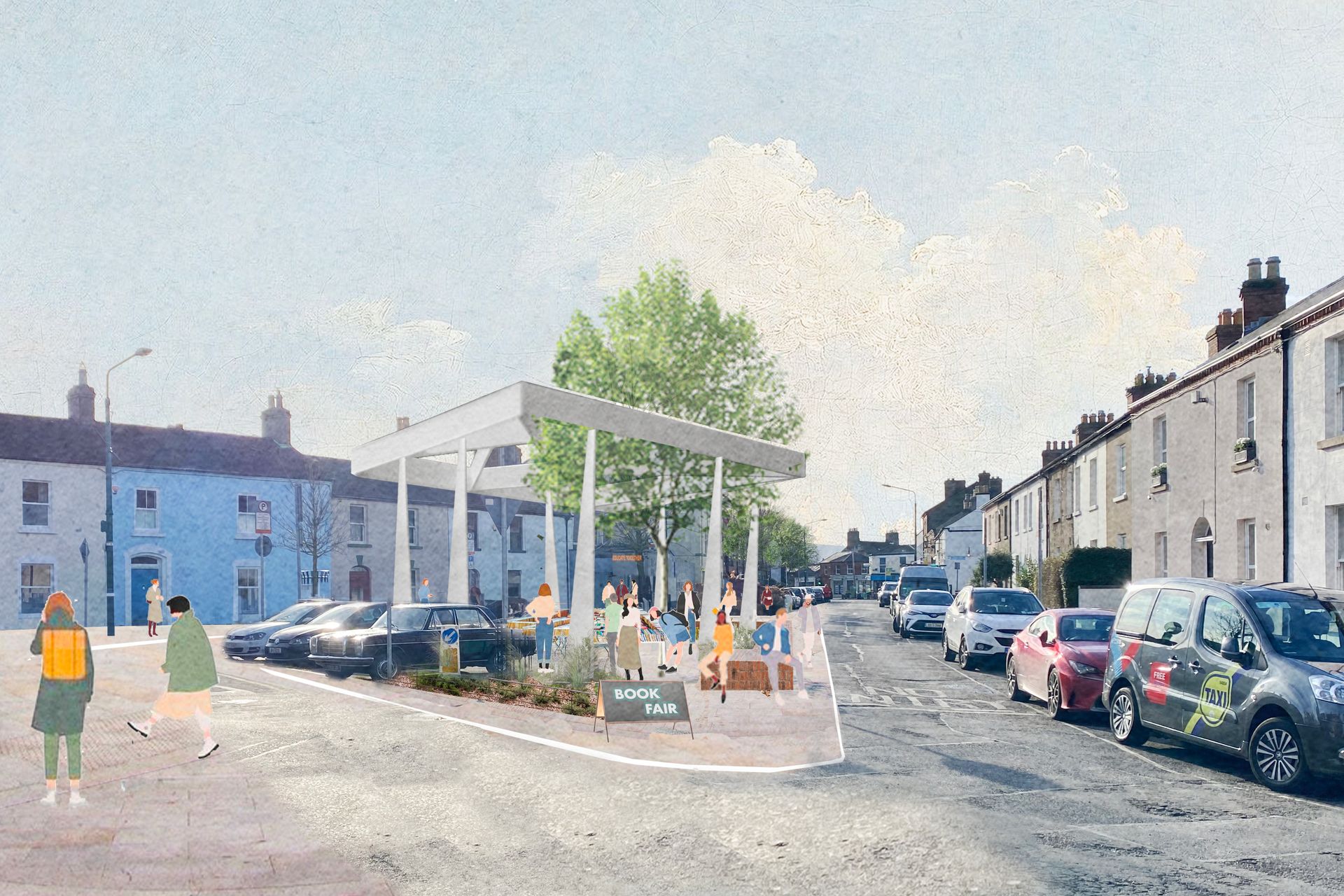
This project is designed to create an attractive civic space to link the sea to the heart of the village. While this area provides important parking facility for residents and visitors, the proposal is to create an attractive dwelling space and at the same time maintain the current volume of car parking spaces by making more efficient use of the existing space.
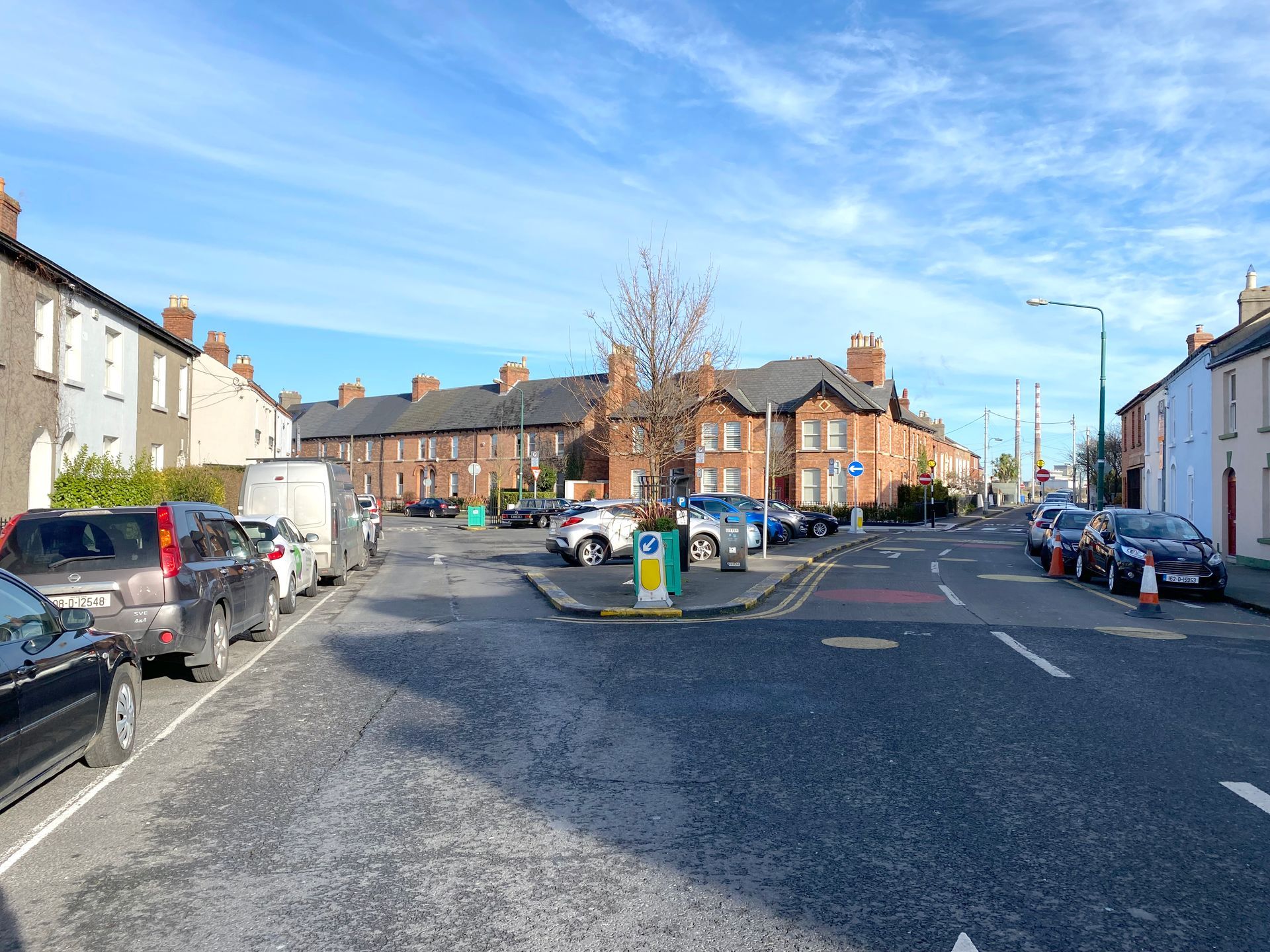
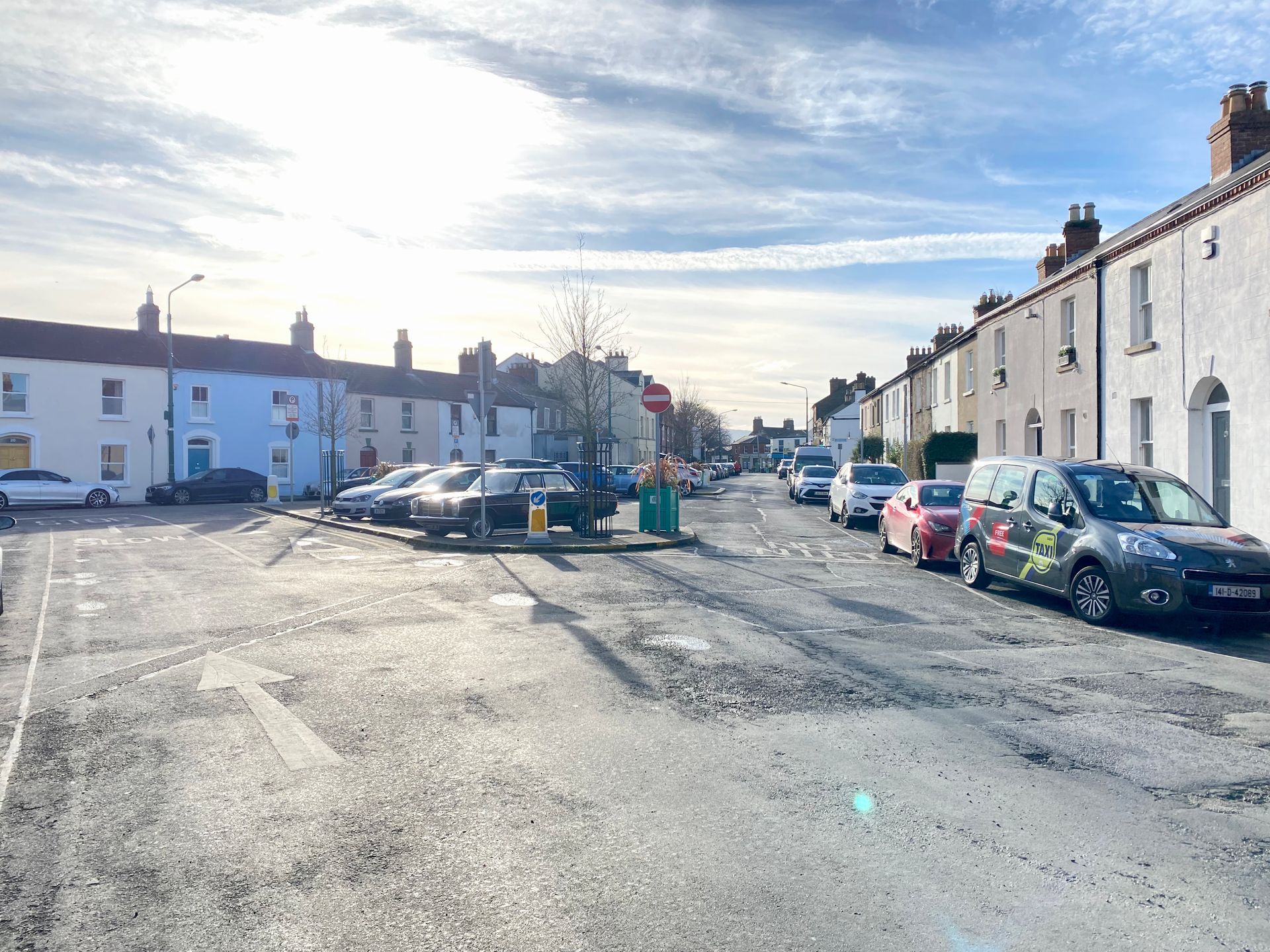
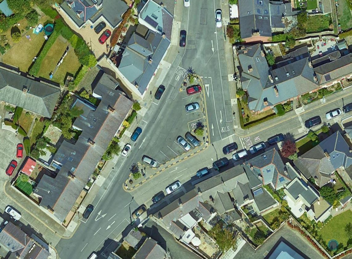
Seafort Terrace is currently a triangular parking area at the junction of Seafort Terrace, Seafort Avenue and Dromard Terrace. The space is dominated by vehicular traffic and provides 11 public car parking spaces in the central traffic island.
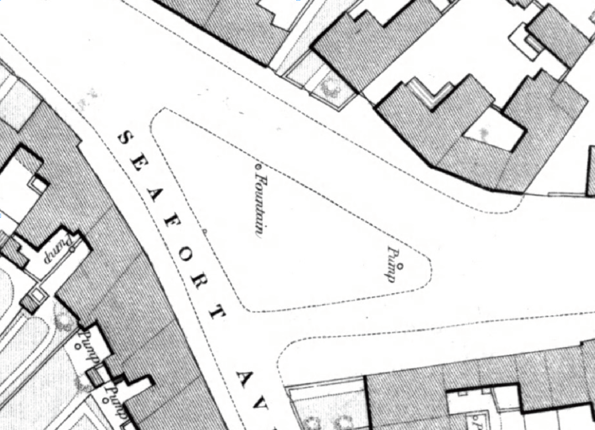
The 1889 Ordnance Survey, shows this triangular space contained a fountain and a pump, prior to its colonisation by private cars. There is a potential to reimagine this space, creating a covered gathering space with a new paved area, allowing for public amenity use, while retaining the functional parking need. This is achieved by a minor modification of traffic flow, involving the removal of the north-bound traffic lane on Dromard Terrace, only where it is contiguous to the east side of the triangular islan
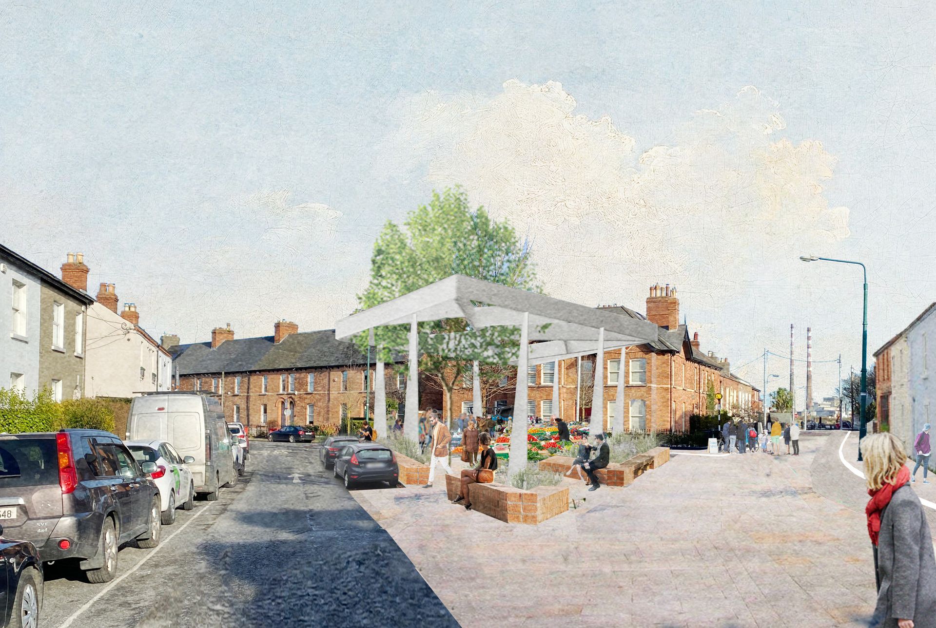
Imagined proposal view, planted areas incorporated into the car parking area, increasing biodiversity while retaining the existing number of parking spaces
Imagined proposal
Historical photographs showing the original proximity between the Church and the waterfront which was then at the end of Leahy’s Terrace (water marked in blue).
Extract from Ordinance Survey Map of 1889, more extensive island with civic functions such as a fountain & pump
Click pictures to enlarge
Seafort Terrace is currently a triangular parking area at the junction of Seafort Terrace, Seafort Avenue and Dromard Terrace. The space is dominated by vehicular traffic and provides 11 public car parking spaces in the central traffic island.
The 1889 Ordnance Survey, shows this triangular space contained a fountain and a pump, prior to its colonisation by private cars. There is a potential to reimagine this space, creating a covered gathering space with a new paved area, allowing for public amenity use, while retaining the functional parking need. This is achieved by a minor modification of traffic flow, involving the removal of the north-bound traffic lane on Dromard Terrace, only where it is contiguous to the east side of the triangular island.
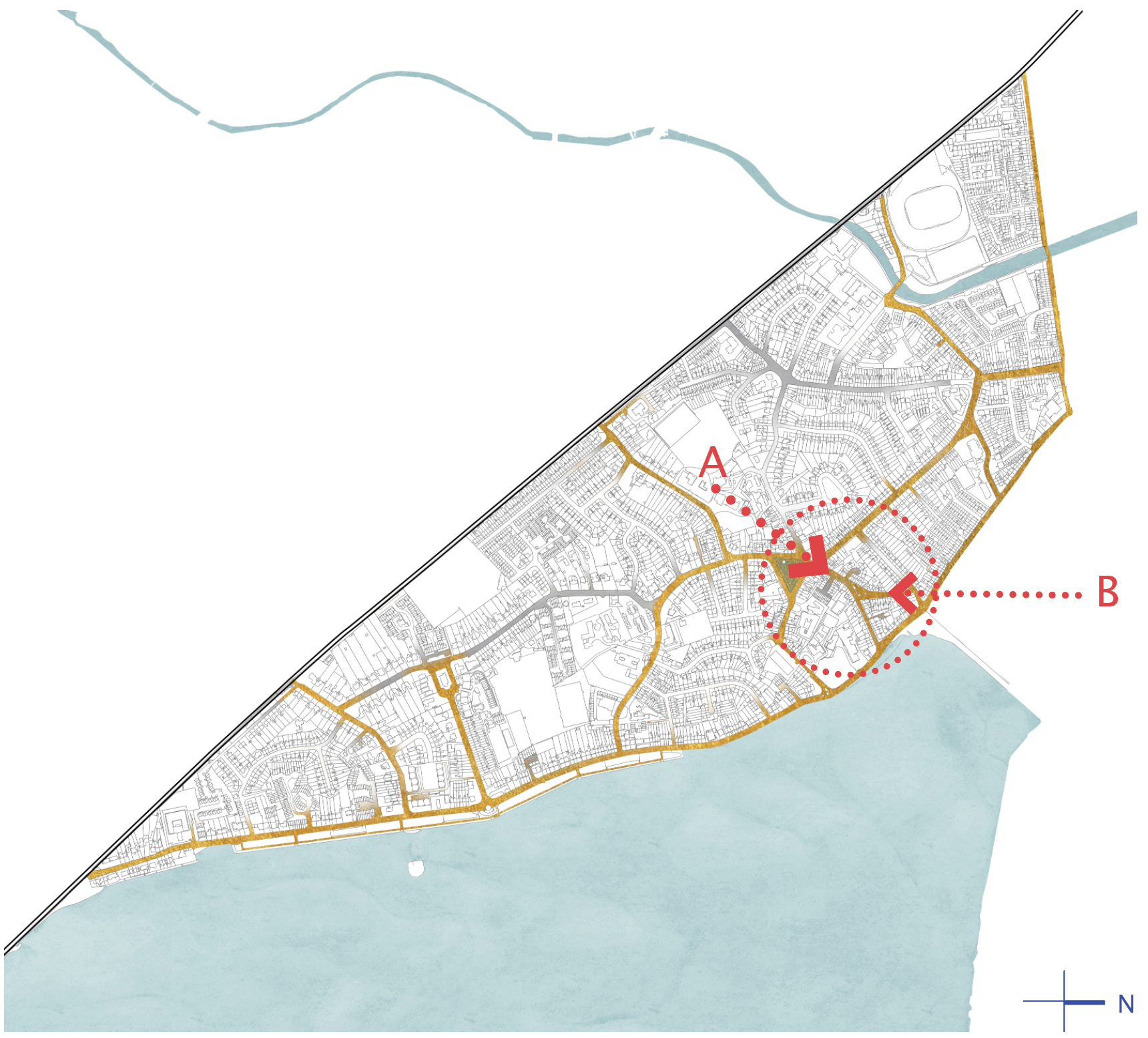
The northbound bus route is maintained along Seafort and Dromard Terrace as well as the southbound route down Dromard Terrace to Seafort Avenue. The change is minimal to the existing arrangement. It does release a dimension of space that can be used to offset a number of parking spaces and increase the area available for public amenity at the centre of the island. This is a strategic space between the Village Green and the Beach/Strand Road. The formation of the intersection has created a triangular space, like the Village Green in miniature. With minor intervention, it has the potential to have a renewed spatial quality of its own, enhancing its current condition, as well as making a strong connection between the Village Green and the Strand.
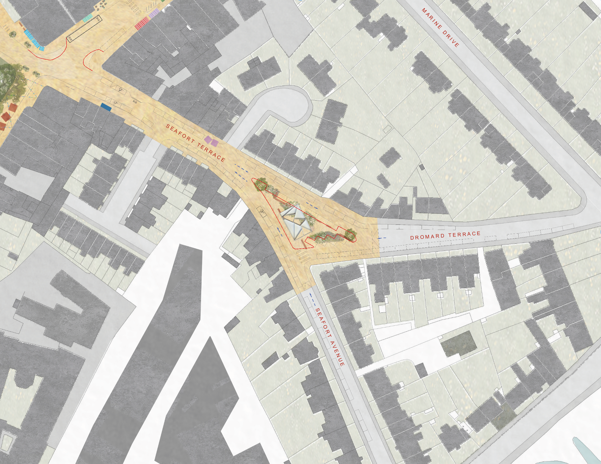
Plan of imagined proposal